
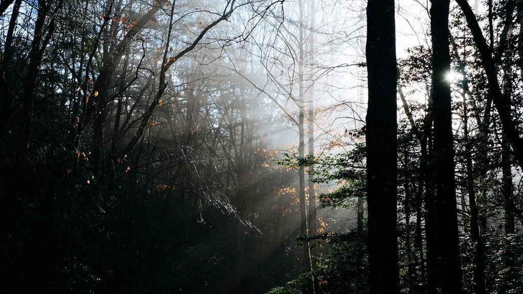
The Great Smoky Mountains are the most visited national park in the United States, and it is easy to see the whole place as a traffic jam with a view. The cure is to leave the road at Newfound Gap or a few miles below it and walk uphill. Two routes on the Tennessee side of the crest are, for us, the essential Smokies: the climb up Alum Cave Trail to the summit of Mount LeConte, and the ridge walk along the Appalachian Trail to the rocky perch called Charlies Bunion. Neither is long by Western standards. Both deliver the deep, layered, blue-green mountain views that gave the range its name.
Mount LeConte: the peak that dominates the north side
Mount LeConte stands 6,593 feet (2,010 m) high, which makes it the third highest summit in the park after Clingmans Dome and Mount Guyot, and the one that rises most steeply from its base. Measured from Gatlinburg at its foot, it gains more than 5,000 feet, which is unusual east of the Rockies. Five trails reach the top: Alum Cave, Rainbow Falls, Trillium Gap, Bullhead and the Boulevard. Alum Cave is the shortest at 5 miles (8 km) one way with about 2,700 feet (825 m) of climb, and it is also the most interesting, which is why it is the one everybody takes.
Near the summit sits a rustic lodge of log cabins, reached only on foot and resupplied by llama pack trains, that has been hosting hikers since the 1920s. Beds are allocated by a lottery held many months ahead and sell out completely, so most people treat LeConte as a day hike. There is also a backcountry shelter, which requires a reservation and permit like every backcountry site in the park. Whichever way you do it, the summit has no road, no cell signal to speak of, and weather that can be a full season behind the valley: snow on the top in May is not unusual.
Alum Cave Trail step by step
The trailhead is on Newfound Gap Road about 8.6 miles (13.8 km) above the Sugarlands entrance, at an elevation of roughly 3,830 feet (1,167 m). The first mile and a half follows Alum Cave Creek through rhododendron and old hemlock, and it is nearly flat. Then comes Arch Rock at about 1.4 miles (2.3 km), where the trail climbs through a natural tunnel in the slate by way of stone steps and a cable handrail. The grade picks up from here. Inspiration Point, at about 2 miles (3.2 km), is the first real view, across to the Chimney Tops and Little Duck Hawk Ridge.
Alum Cave Bluffs, at 2.3 miles (3.7 km), is not a cave but a huge concave overhang of black slate about 80 feet (24 m) high. In the nineteenth century Epsom salt and saltpeter were extracted here, and in winter the dripping bluff hangs with icicles the size of a person. Most day hikers turn around at this point, and the round trip of 4.6 miles (7.4 km) with 1,100 feet (335 m) of gain is a satisfying half-day on its own. Beyond the bluffs the trail becomes a mountain path in earnest, cut into the side of the ridge with cable handrails on the exposed slabs, before it enters the spruce-fir forest that caps the highest Smokies. At the top, two short spurs are compulsory: Cliff Tops for sunset, and Myrtle Point, half a mile beyond the summit, for sunrise. Allow six to eight hours for the full round trip of 11 miles (17.7 km).
Charlies Bunion along the Appalachian Trail
The Appalachian Trail runs for about 71 miles (114 km) along the crest of the Smokies, and the easiest place to sample it is Newfound Gap, at 5,046 feet (1,538 m) on the state line. From the big parking area the trail heads northeast on the ridge, climbing steadily through spruce and fir for about 3 miles (4.8 km) to a junction with the Boulevard Trail, and then, half a mile further, past the Icewater Spring shelter. The rocky knob of Charlies Bunion is 4 miles (6.4 km) from the road on a short spur to the left, with about 1,600 feet (490 m) of total ascent, some of it on the return.
The Bunion itself is a bare outcrop of Anakeesta slate that lost its soil and trees in a 1925 fire followed by a cloudburst in 1929. The bald rock that resulted offers a 180-degree view north across the Tennessee valleys and toward Mount LeConte, and enough exposure that you should keep children and dogs well back from the edge. A round trip of 8 miles (12.9 km) takes four to five hours at a comfortable pace.
Linking the two: the Boulevard Trail
Strong walkers combine everything by parking at Newfound Gap, walking out to Charlies Bunion, returning to the junction and then following the Boulevard Trail for 5.4 miles (8.7 km) along the connecting ridge to LeConte. The Boulevard is a lovely, little-used trail with a side path to the Jump-off, a cliff with an even better view of the Bunion than the Bunion itself. From LeConte you descend Alum Cave to the lower trailhead. That makes a one-way hike of about 14 miles (22.5 km) with a car shuttle of 8 miles on the road, or a very long day if you loop back on foot.
- Alum Cave to LeConte: 11 miles round trip, 2,700 ft of gain, cable handrails on exposed sections.
- Newfound Gap to Charlies Bunion: 8 miles round trip, 1,600 ft of gain, almost all on the Appalachian Trail.
- Boulevard link: 5.4 miles ridge walk between the two, quiet and forested with one big cliff view.
Seasons, storms and the practical side
The Smokies have no entrance fee, but a parking tag is required for any vehicle stopping for more than a few minutes anywhere in the park; it is sold by the day, the week or the year. Newfound Gap Road closes in winter storms and may close at short notice for ice, since the gap is nearly 5,000 feet up. Spring wildflowers peak in April on the lower Alum Cave section, summer brings afternoon thunderstorms with real lightning risk on the open rock, and October is the classic month, with color moving down the mountain about a thousand feet a week.
Water is abundant on the lower trails and must be treated; there is none on the upper Alum Cave route or along the Bunion ridge except the spring at the shelter. Black bears are common and generally shy, so food stays in the pack and the pack stays with you. And the best advice we can give is the simplest: be on the trail by 7 a.m. On a Saturday in October, the Alum Cave parking areas are full by 8, and the road below Newfound Gap becomes exactly the traffic jam you came here to escape.