
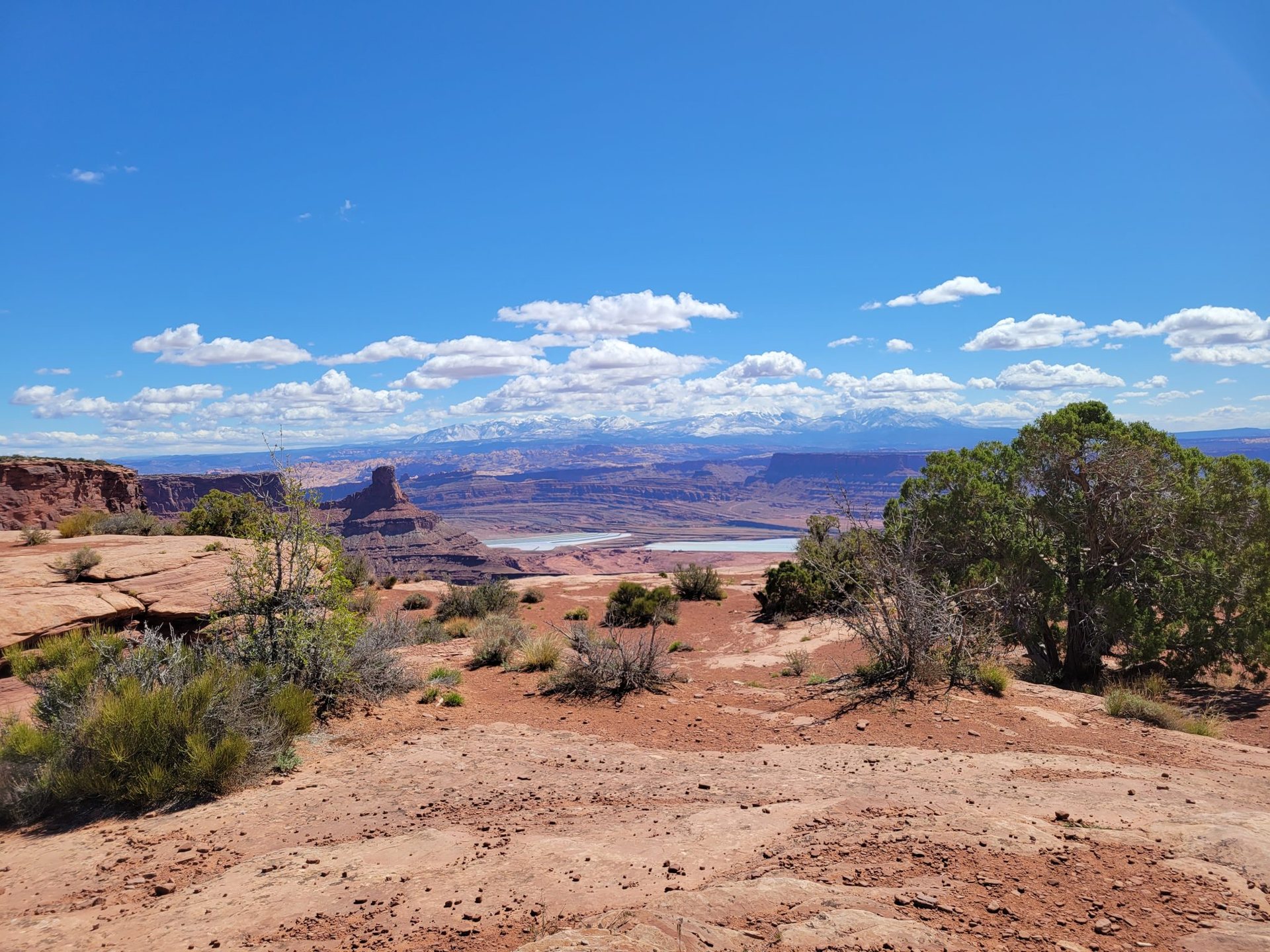
Great Basin National Park is the loneliest park on this list and the one we recommend most often to people who say the national parks are too crowded. It sits in the far east of Nevada, hours from any interstate, and protects a single island range that rises from sagebrush desert at 6,500 feet (1,980 m) to the 13,063-foot (3,982 m) summit of Wheeler Peak. In one long day you can climb that summit, and in another short one you can stand beside trees that were seedlings before the pyramids were finished. Around 150,000 people a year come to do either, fewer than a busy summer week at Zion. Here is how we would spend three days there.
A mountain in the middle of nowhere
The Great Basin is the vast region between the Sierra Nevada and the Wasatch where no river reaches the sea; every stream ends in a lake or a salt flat. Its landscape is a corrugation of north-south ranges separated by broad valleys, and the Snake Range, which the park protects, is one of the highest. Wheeler Peak is the second-highest summit in Nevada and the highest that stands entirely within the state’s borders. The park was created in 1986 around an older cave monument, has no entrance fee at the time of writing, and was named an International Dark Sky Park in 2016 for a night sky that is among the darkest in the lower 48 states. The gateway is a hamlet with a couple of hundred residents, one gas pump and no cell signal in most of the park; fill the tank before you turn off the highway.
The Wheeler Peak Scenic Drive
The road that makes the park hikeable climbs 12 miles (19 km) from the visitor center at 6,825 feet (2,080 m) to the Summit Trailhead at about 10,160 feet (3,097 m), passing through pinyon and juniper, then mountain mahogany, then aspen and finally limber pine and Engelmann spruce. It is a narrow paved road with steep grades and no trailers allowed beyond the lower campgrounds. Snow closes the upper section from around November until late May or June, so the two big hikes are summer and early fall objectives. The trailheads for both are within a mile of each other at the top, near the highest campground in the park at 9,886 feet (3,013 m).
Wheeler Peak Summit Trail
The summit trail is 8.6 miles (13.8 km) round trip with about 2,900 feet (884 m) of gain, and it is a walk-up with no scrambling, but it is not easy. The first 2 miles (3.2 km) climb gently through meadows and aspen to the saddle above Stella Lake, where the trees give out and the whole route lies in view: a long ridge of broken quartzite rising to the summit block. From here the trail is a steady grind up talus, well cairned, with the wind for company. The last mile above 12,000 feet (3,660 m) is loose and slow, and thin air makes it slower. Count on six to eight hours round trip. From the top you look east into Utah, west across a hundred miles of basin and range, and straight down 2,000 feet into the glacial cirque on the north face.
The rule for this peak is the same as for every high summit in the Southwest in summer: start at first light and be off the ridge by early afternoon. Thunderstorms build over the range almost daily in July and August, and there is nowhere to hide on the upper 2 miles. Wind on the summit ridge can exceed 50 miles per hour on clear days, so bring a shell and gloves even in August. The trail is normally clear of snow from late June to mid-October, though early storms can close it any time from September onward.
The bristlecone grove
The Bristlecone Trail leaves from the same parking area and climbs 2.8 miles (4.5 km) round trip with about 600 feet (180 m) of gain to a grove of Great Basin bristlecone pines on a moraine at around 10,800 feet (3,290 m). These are the oldest known living non-clonal organisms on the planet. The species can pass 4,000 years, and the oldest of them survive precisely because they grow where almost nothing else can, on dry, exposed, nutrient-poor limestone and quartzite, so slowly that the wood becomes dense enough to resist rot, insects and fire. A tree in this very grove, cut down in 1964 for research before anyone understood what it was, turned out to be nearly 4,900 years old, the oldest tree ever documented at the time. A stump remains. The grove is fitted with interpretive signs, and the trees themselves are twisted ribbons of live bark on mostly dead wood, polished by wind and ice into shapes that look carved.
Beyond the grove, the Glacier Trail continues another mile to the foot of the only glacier in Nevada, a small rock-covered ice body tucked under the north face of the peak, for a total of 4.6 miles (7.4 km) round trip. It is a rough, rocky path over moraine, but the view up the cirque walls is the wildest in the park.
Lakes, caves and the night sky
The Alpine Lakes Loop, 2.7 miles (4.3 km) with little gain, circles Stella and Teresa lakes below the peak and is the walk for a rest day or an acclimatization afternoon. Lower down, the limestone cave that started the park runs daily ranger-led tours of its decorated chambers, with tickets that sell out well ahead in summer, so reserve before you arrive. And after dark, drive to any pullout on the scenic road, turn off the headlights and wait ten minutes. The Milky Way here casts a shadow, and the park runs an astronomy program through the summer with telescopes and rangers.
- Acclimatize: sleep at least one night at a park campground above 7,000 feet before the summit day.
- Water: there is none on the summit trail; carry 3 liters per person. The bristlecone and lakes trails are short but still dry.
- Sun and cold: you can start in frost and finish in blazing sun at 13,000 feet; layers, a hat and sunscreen are all essential.
- Season: late June through early October for the high trails; the lower canyons and the cave are open year round.
Great Basin will never be crowded, and that is exactly why it belongs on a canyon country itinerary: after the red rock and the shuttle lines, a quiet mountain and a five-thousand-year-old tree put everything else in scale.