
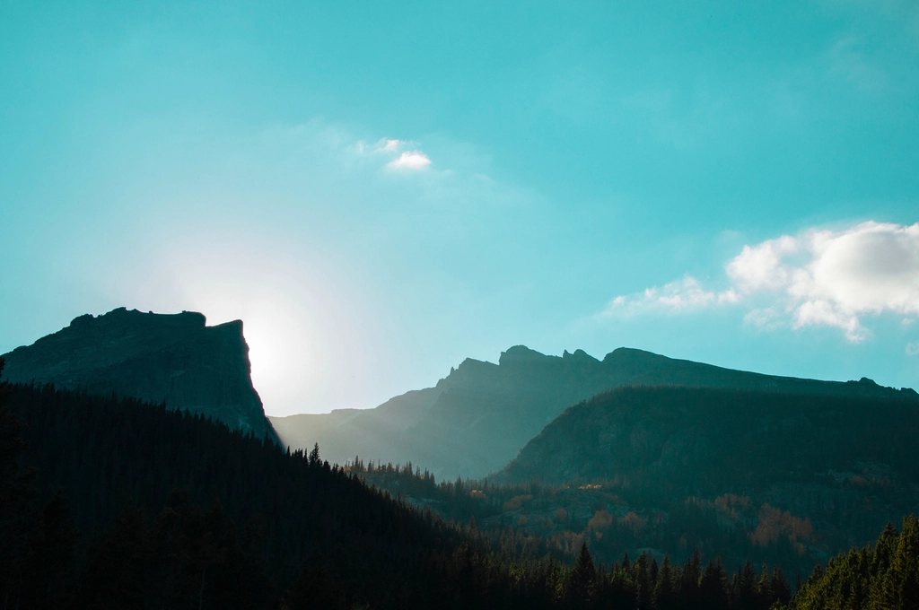
Shenandoah is a long, thin park draped along the crest of Virginia’s Blue Ridge, and its spine is a road. Skyline Drive runs for 105 miles (169 km) from Front Royal in the north to Rockfish Gap in the south, with 75 overlooks and a 35 mph speed limit, and almost every trail in the park starts from a numbered milepost along it. The one glorious exception is Old Rag, a granite mountain standing off to the east of the ridge with the best rock scramble between Maine and the Smokies. We think the two belong together: a day on Old Rag for the hands-on climbing, and a day or two cherry-picking the short, steep, rewarding trails that Skyline Drive serves up every few miles.
Old Rag: the scramble everybody talks about
Old Rag Mountain rises to 3,284 feet (1,001 m), which sounds modest until you learn that the summit ridge is a jumble of house-sized granite boulders, and that the trail goes over, under and between them for about a mile. The classic circuit is 9.4 miles (15.1 km) with roughly 2,400 feet (730 m) of climbing. You go up the Ridge Trail, which starts as a graded path through oak and hickory and turns, above the first false summit, into a series of squeezes, chimneys, and slab moves that require both hands and a little nerve. Nothing is technical, but a short person will want a boost in one or two spots, and a big pack is a real nuisance.
From the summit, the descent follows the Saddle Trail past a stone shelter, then the Weakley Hollow fire road back to the parking area in Nethers. Do the loop in this direction: it keeps the scramble as an ascent, which is safer and more fun, and it means you are not descending the rock against a stream of people coming up. Allow five to seven hours. In wet weather or ice, skip it entirely; the granite becomes glass and rescues on Old Rag are a regular feature of the winter news.
The Old Rag ticket and how to plan around it
Since 2022 the park has run a day-use ticket system for Old Rag from March through November. A limited number of tickets is sold for each day, most of them released about a month in advance and a smaller share a few days ahead, and each is tied to a named hiker in addition to the normal park entrance pass. It has genuinely changed the experience: the summit boulders, once a queue on fall weekends, are now merely busy. Winter needs no ticket but demands microspikes and judgment. Note that Old Rag is reached from the valley on the east side, not from Skyline Drive, so it is a separate drive of about an hour from the central section of the park.
North district: Front Royal to Thornton Gap
The Drive starts at milepost 0 in Front Royal, and the northern third is the quietest stretch. Compton Peak, from mile 10.4, is a 2.4-mile (3.9 km) round trip to a fine columnar basalt formation, and Marys Rock from the Meadow Spring parking area at mile 33.5 is a 2.8-mile (4.5 km) round trip with a 360-degree summit view over Thornton Gap and the Massanutten ridge to the west. Marys Rock can also be climbed from the Panorama area at Thornton Gap itself, mile 31.5, a steeper 3.7-mile (6 km) round trip on the Appalachian Trail, which runs for 101 miles (163 km) through the park and crosses Skyline Drive again and again.
Central district: the big ones between miles 40 and 60
This is the heart of the park, and the trailheads come thick and fast. Stony Man, from mile 41.7, is a 1.6-mile (2.6 km) loop to the park’s second highest point at 4,011 feet (1,223 m), with cliffs that give the best sunset on the Drive for almost no effort. Hawksbill, the highest summit at 4,051 feet (1,235 m), is a 1.7-mile (2.7 km) round trip from the Upper Hawksbill parking area at mile 46.7 or a 2.9-mile (4.7 km) loop from the Hawksbill Gap lot at mile 45.6, and its stone observation platform looks straight down on Old Rag to the east.
For waterfalls, Dark Hollow Falls at mile 50.7 is a 1.4-mile (2.3 km) round trip to a 70-foot (21 m) cascade, steep on the way back and very popular. Whiteoak Canyon from mile 42.6 is far bigger: the full route to the lowest of six falls and back is about 7.3 miles (11.7 km) with 2,000 feet (610 m) of descent and then ascent, and pairing it with Cedar Run makes a strenuous 8-mile (12.9 km) loop that is the wettest, rockiest and most beautiful hike on the ridge. Bearfence Mountain at mile 56.4 is a short rock scramble, under a mile round trip, with a full-circle view that makes it the ideal rehearsal for Old Rag with children.
South district: Swift Run Gap to Rockfish Gap
South of milepost 65 the ridge narrows and the crowds thin. Blackrock Summit at mile 84.4 is a 1-mile (1.6 km) loop over a talus field of quartzite boulders that you can scramble across in five minutes. Riprap Hollow from mile 90 makes a 9.8-mile (15.8 km) loop with Wildcat Ridge and a swimming hole halfway round, and it is the best long day in the southern section. The Drive ends at Rockfish Gap, mile 105, where the Blue Ridge Parkway takes over and heads south toward the Smokies.
- Old Rag circuit: 9.4 miles, 2,400 ft, day-use ticket March to November, scramble up not down.
- Hawksbill: 1.7 to 2.9 miles, the highest point in the park, miles 45.6 and 46.7.
- Whiteoak-Cedar Run loop: 8 miles, 2,000 ft, waterfalls, mile 42.6.
- Marys Rock: 2.8 miles from Meadow Spring, mile 33.5, the finest summit in the north.
Timing the ridge
Skyline Drive is open all year but closes for snow and ice, often for days at a time in January and February. Mid-October is peak color and peak traffic; the park counts more visitors in that one month than in any other. May brings mountain laurel and the best waterfall flow. Summer is hazy and humid, with afternoon storms, and the ridge is typically ten degrees cooler than the valley. Black bears are as common here as anywhere in the East, and the deer along the Drive are so tame that the real hazard is the driver in front of you stopping to photograph them.